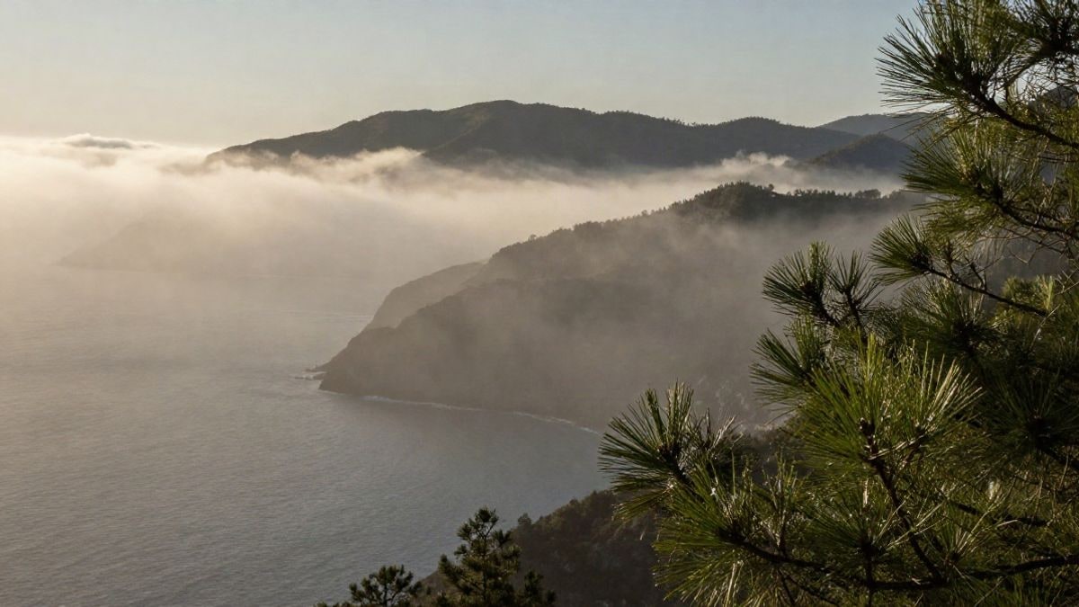
The meteorological phenomenon, known as taró on the Málaga coast, is reappearing with intensity. Its effects range from refreshing vegetation to causing delays at the airport.
The fog known as taró in Málaga has made its presence felt again during the start of the fair, although with less density than the previous weekend, when on Saturday, August 8, one of the longest and most extensive incursions in recent months was recorded, according to Diario Sur. The term, possibly of Phoenician origin, has become popular thanks to the work of communicators like José Luis Escudero.
The taró forms due to the strong contrast between the surface of the sea, cooled by the terral wind, and the warm breeze from the south-southeast. "This sweeps across the surface and condenses into advection fog," explains Escudero. The currents push it inland, reaching areas such as Gibralfaro, the Santuario de la Victoria, or Fuente Olletas, and in strong episodes even Los Montes de Málaga.
One of its most beneficial effects is the irrigation of vegetation. Enrique Salvo, director of the Chair of Climate Change at the University of Málaga (UMA), points out that "the cool, moist fog reaches these mountains, irrigates and refreshes the vegetation, which maintains exceptional characteristics from the Strait to Tejeda and Almijara." The moisture condenses on the leaves and produces what is called cryptoprecipitation, a horizontal rain that "does not erode or damage the soil," he adds.
The taró also reduces the temperature on the coast by up to five degrees and raises the relative humidity above 90%. However, during its most intense moments, it can cut visibility, as occurred in episodes that forced the activation of procedures due to low visibility at the Málaga airport.
For weather enthusiasts, Escudero recommends observing the phenomenon from high points like the Gibralfaro mountain, where the fog can be seen spread over the city. The taró usually dissolves by noon, although it can reappear at night.

You may also like