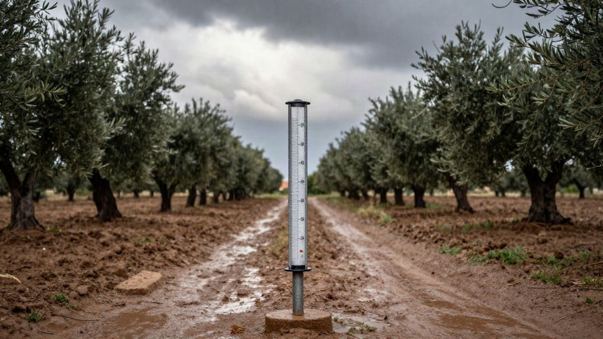
The municipality of Guadalhorce accumulated up to 58 litres per square metre, with peaks of 21 in one hour. The rain eases this Tuesday and will return on Friday.
The first episode of autumn rains has left very disparate records in the province of Málaga, with Coín being the most affected municipality. According to data from the Hydrosur Network of the Junta de Andalucía, the rain gauge in this part of the Guadalhorce Valley exceeded 54 litres per square metre throughout Monday, although the station of the State Meteorological Agency (Aemet) in the same locality raised the figure to 58 l/m2, as reported by Diario Sur.
The intensity was particularly notable between 12:00 and 13:00, when 21 litres per square metre were measured in just one hour, above the yellow warning threshold set at 15. In the previous hour, between 11:00 and 12:00, the downpour left another 18 l/m2. The Aemet warning for heavy rains was fulfilled, but unevenly: while Coín bore the brunt, the coastal areas experienced light precipitation.
Other points in the province also recorded significant accumulations. At the Aljaima weir, on the Guadalhorce River as it passes through Cártama, 45 l/m2 were reached; on the Fahala River, in Alhaurín el Grande, nearly 30; and in Ojén, 28. They were followed by Villanueva de la Concepción (22), the Casasola reservoir (20), and the Sierra de Mijas (19). In the capital, where the rain did not cease for almost the entire day, the airport accumulated around 10 l/m2.
The meteorological communicator José Luis Escudero explains that this episode is due to the passage of a trough across the Peninsula, which has increased instability after days of summer weather. "The trough, which brings cold air in the upper layers of the atmosphere, will join a humid easterly flow at the surface," he points out.
Monday was distinctly tropical, with still high temperatures, very high relative humidity, and intermittent showers. From this Tuesday until Thursday, Aemet forecasts a return to stability, with temperatures rising to a maximum of 29 degrees and a minimum of 20, and no risk of rain.
On Friday, all signs point to a new change. Experts from Eltiempo.es warn that an Atlantic depression will deepen this week and could undergo explosive cyclogenesis between Tuesday and Wednesday, although its trajectory will take it west of the British Isles. From there, it will send fronts laden with rain and wind towards the peninsula. In Málaga, precipitation could reactivate on Thursday due to the influence of the Mediterranean and maritime winds, which will bring extra moisture and energy.
It is not ruled out that a cut-off low will detach to the west of the peninsula and dictate the weather from Friday onwards, with new showers and storms affecting much of the country. Models indicate that instability will continue into the first weekend of October, although temperatures will not drop yet.

You may also like